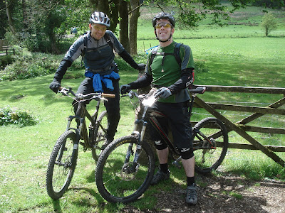
A few guys who like to ride their bikes quite fast on anything but tarmac.
In the absence of any mountains around Brighton, we try every weekend to make the most of the South Downs. Always looking for the shortest ups, longest downs...
So... sad geeks that we are, we've decided to share with the world our random rides around the Sussex downs and anywhere else we venture when the spring finally comes. Feel free to contact us if you'd like to share routes and join in the rides...
This route was from the Lake District Mountain Biking book, which is a must-have if you're not from the area. Highly recommended. As the book says this is a great little ride. Not too long, not too high (weather still a problem on this day) but taking in some nice fell-top tracks and the best part of the North Face trail too. The book starts you at Moor Top car park, but we started at the Grizedale visitor centre, which means you finish with the North Face trail downhill run, which is great!
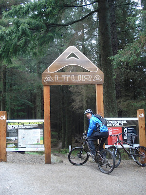
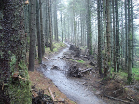
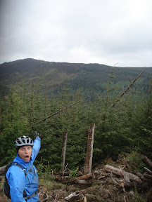
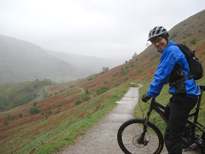
Drove up to Keswick area to tackle the Altura Trail at Whinlatter Forest Park. This is a much more technical challenge than the North Face Trail at Grizedale, especially in poor conditions. The rain eased for the second half but were replaced by galeforce winds, so we were tested to our limits at points. Still at least the tyres worked - not sure you could find wetter roots and rocks in the UK right now!
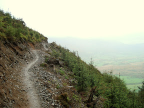
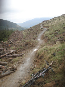
The trail consists of 2 sections of a waymarked red route, the north section being much more challenging than the south, with a steeper longer singletrack climb at the start and harder downhill sections. Lots of switchbacks, dropoffs, etc. (hmmm, yes, it doesnt look like much from the shots, but the camera was stowed for the hard stuff)
The south section is faster and more fun (IMO), although still plenty of twisting uphill singletrack that was a bitch in the galeforce wind, but once you reach the top you are rewarded with some stunning views (of clouds) before embarking on a final downhill run that we were flying along.
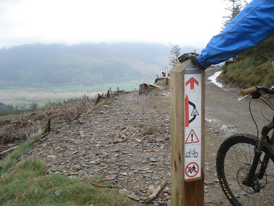
Full info and a map of the trails can be found on the Forestry Commission site. There's a new blue section that is actually newly open this week, so we couldn't get on that. If the red route is anything to go by this will be a lot of fun. Well worth the trip! There's also a good bike shop at the trail start, which is always handy if you need to make any final rash purchases :) They hire bikes and do training courses too...
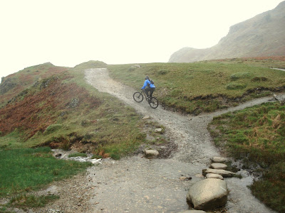
Despite the pissing rain we bit the bullet and headed out for a shortish loop around a low fell, fully waterproofed up, but still came back utterly soaked. This route was adapted from the Lake District Mountain Biking book, which is a must-have if you're not from the area. Highly recommended. We were staying in Little Langdale so thats our start point but you can obviously start anywhere. Take the route in a clockwise direction. From Little Langdale the drove track over to Elterwater is rocky and good fun, then its a good climb on road up to High Close, before dropping down and passing through the gate to get onto Loughrigg Fell. The first section is a fast downhill run to an intersection.
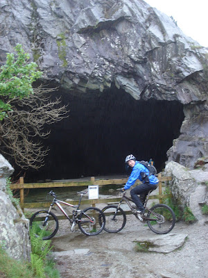
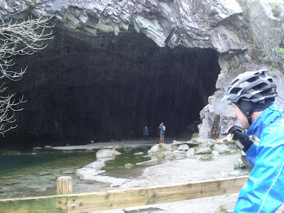
Take the higher path here which widens in a 100 meters or so, joining the main track up to the caves. Definitely worth a look, and a wander inside if you ignore the warnings.
Downhill from here along Rydal Water, but turning right before Pelter Bridge to skirt the east side of the Fell. After a couple of km you take a lane/bridleway up a bitch of a steep, long climb to the Fell. This track turns to dirt but continues all the way to Ivy Crag and then down to Loughrigg Tarn.
We turn off before the tarn and head down the hill to Skelwith Bridge. Follow the permissive path from here along the riverside all the way to Elterwater. Nice and wet.